How To Track NASA Satellites Live: The Ultimate Powerful Guide
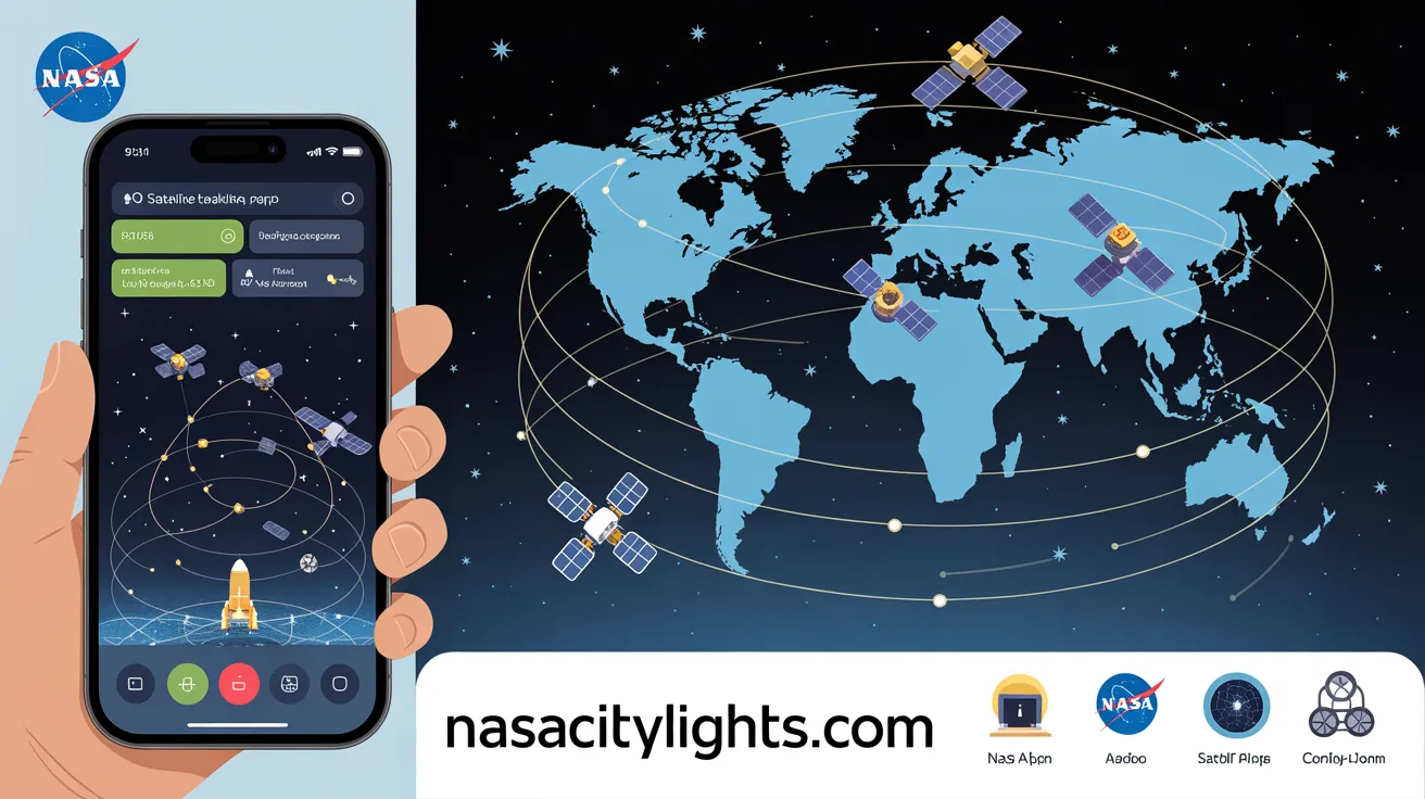
Right now, hundreds of satellites are orbiting above your head. You just cannot see them with the naked eye. But you can watch them move in real time, track their exact location, and even predict when they will fly over your house tonight.
How To Track NASA Satellites Live is not just for scientists or engineers. Anyone with a phone or computer can do it. Whether you want to spot the International Space Station, follow a weather satellite, or explore NASA’s full fleet, the tools are already available and most of them are completely free.
This article walks you through everything you need to know. You will learn which tools to use, how to set them up, and how to get the best experience tracking satellites live from anywhere in the world.
What Does “How To Track NASA Satellites Live” Actually Mean?
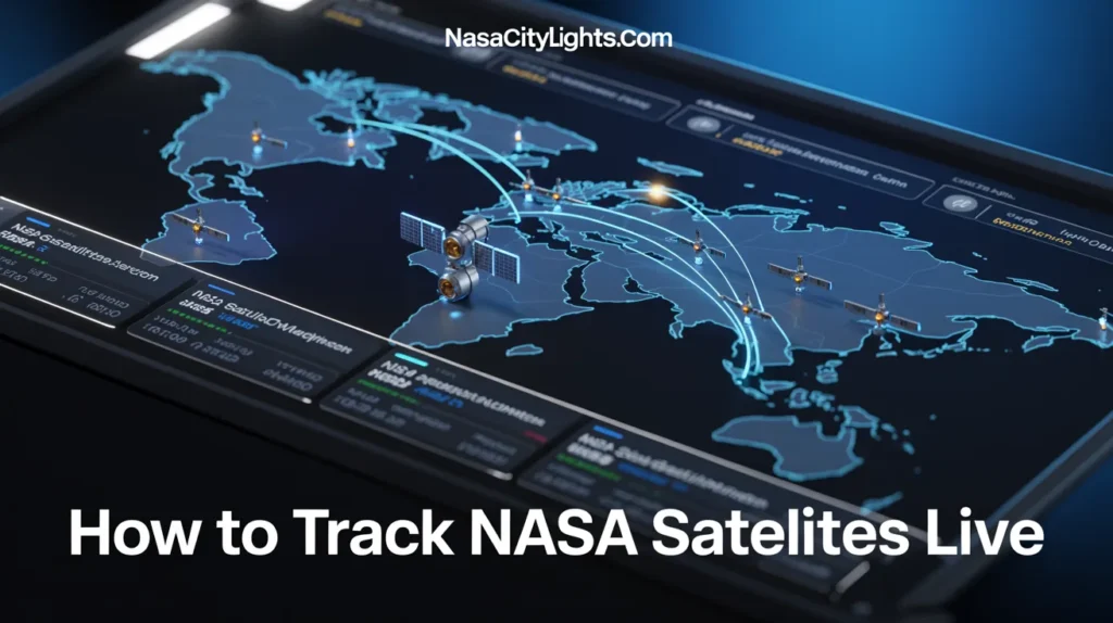
Before jumping into the tools, let us clear something up. When you track a satellite live, you are not looking at a live camera feed of the satellite itself. Instead, you are watching a real-time map that shows the satellite’s current position as it orbits Earth.
This data comes from a system called Two-Line Element sets, or TLEs. These are mathematical formulas that describe a satellite’s orbit. Tracking software uses TLE data to calculate where a satellite is at any given second.
NASA and other space agencies update this data regularly. So when you open a tracking app, you see an accurate, live picture of where each satellite is in its orbit right now.
Why Track NASA Satellites?
You might wonder why tracking satellites matters to everyday people. Here are a few reasons people do it every day.
It is genuinely exciting. Watching a dot move across a real globe in real time, knowing that dot is a spacecraft traveling at 17,500 miles per hour, never gets old.
It is educational. You learn about orbital mechanics, satellite missions, and space science just by exploring these tools.
It is practical. You can find out exactly when the International Space Station will pass over your city. Then you step outside, look up, and see it with your own eyes.
It connects you to space exploration. NASA has dozens of active satellites doing real scientific work right now. Tracking them brings that work closer to you.
The Best Tools to Track NASA Satellites Live
There are several excellent options available. Some run in your browser. Others are apps for your phone. A few are powerful desktop programs. Here is a breakdown of the best ones.
NASA Eyes on the Solar System
NASA built this tool themselves, and it shows. NASA Eyes on the Solar System is a free, downloadable application that gives you a stunning 3D visualization of NASA’s missions in real time.
You can zoom out to see the entire solar system or zoom in to watch a specific spacecraft. The data updates in real time, pulling directly from NASA’s mission databases.
This tool covers not just Earth satellites but also deep space probes like Voyager 1, the James Webb Space Telescope, and Mars rovers. If you want to explore NASA’s full fleet, this is the most immersive option available.
How to get started:
- Go to NASA’s official website and search for “NASA Eyes on the Solar System”
- Download and install the free application
- Launch it and select any mission from the menu
- Use your mouse to rotate, zoom, and explore in real time
The graphics are detailed and the experience feels like a planetarium on your desktop.
Heavens Above
Heavens Above is a classic. It has been helping satellite watchers since the late 1990s, and it remains one of the most reliable tools available today.
The website gives you precise predictions for when specific satellites will be visible from your location. You enter your city or your exact coordinates, and it generates a list of upcoming passes with times, directions, and brightness ratings.
For the International Space Station, Heavens Above provides a sky chart showing the exact path the ISS will take across your sky. You can print it out or save it to your phone and use it outside when you are watching.
This tool is especially useful if you want to see satellites with your naked eye. The predictions are accurate to within seconds.
Celestrak
Celestrak is the go-to source for satellite tracking data. It maintains one of the largest publicly available databases of TLE data in the world. Most other tracking tools actually pull their data from Celestrak.
The website itself is more technical than visual, but it is an invaluable resource. You can download TLE data for specific groups of satellites, including all active NASA satellites, the ISS, weather satellites, and more.
If you use third-party tracking software on your computer, you will likely connect it to Celestrak to keep your data current.
Satellite Tracker Apps for Mobile
Several mobile apps make live satellite tracking easy from your phone. Here are three that stand out.
ISS Detector: This app focuses specifically on the International Space Station and other bright satellites. It uses your phone’s location to give you personalized pass predictions. The interface is clean and beginner-friendly.
Stellarium: Best known as a star map app, Stellarium also tracks satellites. You point your phone at the sky, and it overlays satellite positions on a real view of the stars. It is a beautiful way to combine stargazing and satellite tracking.
GoSatWatch: A more advanced option that tracks thousands of satellites at once. You can filter by type, watch orbital paths on a 3D globe, and set alerts for upcoming passes over your location.
All three apps are available for both iOS and Android, and each offers a free version with enough features to get started.
N2YO
N2YO is a powerful web-based tracker that requires no download at all. Open it in your browser, search for any satellite by name or ID, and instantly see its live position on a world map.
The site tracks over 18,000 objects in orbit. You can see the satellite’s altitude, speed, and orbital inclination in real time. It also predicts when any satellite will pass over your location.
One feature that makes N2YO especially useful is its category system. You can browse satellites by type: weather satellites, GPS satellites, NASA research satellites, and more. This makes it easy to explore different missions without knowing exact satellite names.
SkySafari
SkySafari is a premium astronomy app that includes satellite tracking as part of a broader set of features. It is popular among amateur astronomers because it combines a detailed star atlas with real-time satellite data.
You can watch the ISS, the Hubble Space Telescope, and many other NASA satellites move across a simulated sky. The app also links to information about each satellite, so you can learn about the mission while you track it.
How to Track the International Space Station Live
The ISS is the most popular satellite to track, and for good reason. It is the brightest human-made object in the night sky. On a clear night, it looks like a fast-moving star crossing the sky in about six minutes.
Here is a simple step-by-step process to track it tonight.
Step 1: Open NASA’s Spot the Station website or download the ISS Detector app. Both are free.
Step 2: Enter your location. The tool will generate a list of upcoming passes over your area, including the date, start time, direction, and maximum brightness.
Step 3: Go outside a few minutes before the predicted time. Give your eyes about five minutes to adjust to the dark.
Step 4: Face the direction the tool indicated. The ISS will appear as a steady, bright dot moving steadily across the sky. Unlike airplanes, it has no flashing lights.
Step 5: Watch it until it fades out as it enters Earth’s shadow.
That is it. No telescope needed. No special equipment. Just your eyes and a bit of timing.
Understanding Satellite Orbits: A Quick Overview
To get more out of tracking, it helps to understand the basic types of satellite orbits.
Low Earth Orbit (LEO): This is where the ISS lives, orbiting between 250 and 400 miles above Earth. Satellites here move fast and complete an orbit every 90 minutes or so.
Medium Earth Orbit (MEO): GPS satellites operate here, at altitudes between 1,200 and 22,000 miles. They move more slowly and cover larger areas of Earth at once.
Geostationary Orbit (GEO): Weather satellites like GOES-16 and GOES-18 sit at about 22,236 miles above the equator. They orbit at the same speed Earth rotates, so they appear stationary from the ground.
Polar Orbit: Some NASA Earth-observation satellites orbit from pole to pole, crossing the entire surface of Earth as it rotates beneath them. These satellites collect global data efficiently.
Knowing these orbit types helps you understand why some satellites move quickly across the sky while others stay fixed in one position.
NASA Satellites You Can Track Right Now
NASA operates dozens of active satellites. Here are some of the most interesting ones to track.
International Space Station: The most visible object in low Earth orbit. Crew members live and work aboard it continuously.
Hubble Space Telescope: Orbiting at about 340 miles above Earth, Hubble has been delivering stunning images of the universe since 1990.
Terra and Aqua: Two Earth-observing satellites that monitor climate, weather, and environmental changes. They carry instruments that study everything from ocean temperatures to wildfire smoke.
GOES-16 and GOES-18: These geostationary weather satellites provide the satellite imagery you see on weather forecasts. They monitor storms, hurricanes, and atmospheric conditions across North and South America.
Landsat 8 and 9: These satellites photograph Earth’s land surface, tracking changes in forests, agriculture, glaciers, and urban growth over time.
James Webb Space Telescope: Unlike Hubble, Webb orbits a special point in space called L2, about one million miles from Earth. It is visible in tracking tools like NASA Eyes.
Tips for a Better Satellite Tracking Experience
Here are a few things that genuinely improve the experience.
Set location alerts. Most apps let you set notifications for upcoming passes. Turn these on so you never miss the ISS crossing your sky.
Track during twilight. The best time to see satellites with your naked eye is just after sunset or just before sunrise. The sky is dark but sunlight still hits the satellite, making it visible.
Use a red flashlight outside. If you bring your phone outside to check a star map, switch your screen to red mode. It preserves your night vision better than white light.
Follow NASA on social media. NASA often announces special events, like the ISS passing over a specific city or a new satellite launch. These announcements make tracking even more timely and relevant.
Compare multiple tools. Different apps have different strengths. Using two or three gives you a fuller picture of what is overhead at any moment.
Common Questions About Tracking NASA Satellites
Can I track satellites in real time for free?
Yes. Tools like N2YO, Heavens Above, and NASA Eyes are all free. You do not need a paid subscription to track NASA satellites live.
Do I need special equipment?
No. Most satellite tracking is done on a phone or computer. Seeing satellites with your naked eye requires no telescope or binoculars.
How accurate is the live tracking data?
Very accurate. TLE data is updated multiple times per day. Most apps display positions accurate to within a few kilometers.
Can I see the ISS with my eyes?
Yes, and it is bright. The ISS is often the brightest object in the night sky after the moon and Venus. It looks like a fast-moving star.
What is the best app for beginners?
ISS Detector and NASA’s Spot the Station are both excellent starting points. They are simple, accurate, and free.
Conclusion
Tracking NASA satellites live is one of the most accessible ways to connect with space exploration. You do not need a degree in aerospace engineering or thousands of dollars in equipment. You just need a phone, a free app, and a clear sky.
Start simple. Download ISS Detector or open N2YO in your browser. Find out when the ISS will pass over your home tonight. Step outside and watch it move across the sky with your own eyes.
That moment, when you realize you are watching a spacecraft full of astronauts orbit Earth at 17,500 miles per hour, is something you will not forget.
Once you experience it, you will want to go deeper. Explore Hubble. Follow the Webb Telescope. Watch weather satellites sit perfectly still above the equator. The sky is not the limit. It is just the beginning.
Which NASA satellite are you most excited to track? Drop your answer in the comments below and share this article with anyone who has ever looked up at the night sky and wondered what is passing overhead.
FAQs
Q1: What is the easiest way to track NASA satellites live? Using a website like N2YO or downloading the ISS Detector app are the two easiest ways to start. Both are free and work on any device.
Q2: How do I know when the ISS will fly over my house? Enter your location into NASA’s Spot the Station website or the ISS Detector app. It will give you exact times and directions for upcoming passes.
Q3: Can children use satellite tracking apps? Yes. Most apps are intuitive enough for children to use. It is a great educational activity for kids curious about space.
Q4: How often does the ISS orbit Earth? The ISS completes one full orbit of Earth approximately every 90 minutes. It travels at about 17,500 miles per hour.
Q5: Are there any satellites I can see without a telescope? Yes. The ISS, several large rocket bodies, and some communication satellites are bright enough to see with the naked eye on a clear night.
Q6: What is TLE data and why does it matter? TLE stands for Two-Line Element set. It is a standardized format for describing a satellite’s orbit. Tracking apps use TLE data to calculate real-time satellite positions.
Q7: Can I track satellites during the day? You can track them on apps anytime, but you generally cannot see them with your eyes during the day because the sky is too bright.
Q8: Is NASA Eyes on the Solar System free? Yes. NASA Eyes is completely free to download and use. It runs on Windows and Mac computers.
Q9: How often is satellite tracking data updated? Most services update TLE data several times per day. Real-time tracking apps use this fresh data to keep positions accurate.
Q10: Can I track classified or military satellites? Most tracking databases only include unclassified objects. Some classified satellites appear as unidentified objects in public databases, but their details are not available.
Author Bio:
Zara Khalid is a science and technology writer with a deep passion for space exploration and digital tools. With over seven years of experience covering astronomy, satellite technology, and space missions, she breaks down complex topics into content that everyday readers can understand and enjoy. When she is not writing, she is outside watching the ISS pass over the night sky.